

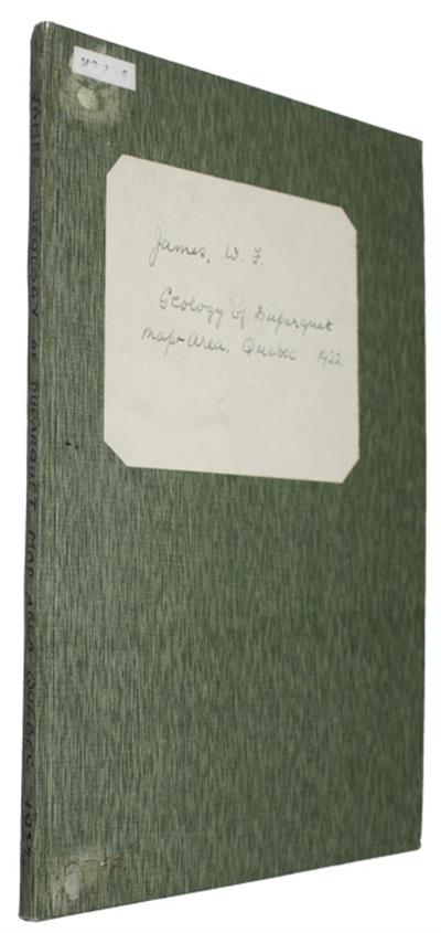
Geology of Duparquet Map-Area, Quebec
- Illustrations : folding col map
Description:
From Summary report, Geol. Sur. Can. 1992, Part D. A dissertation presented to the faculty of Princeton University in candidacy for the degree of Doctor of Philosophy.
The report describes a geological investigation carried out in 1922 in a region of Timiskaming County, Quebec, located a short distance south of Lake Abitibi, and is accompanied by a large, detailed geological map..
Condition
8vo, cont. cloth boards, ink lettering to spine, paper label. Orig. wrappers retained. Good ex-lib.; from an institutional library with a few neat ink stamps.
You may also like...
River Studies and Recommendations on Improvement of Niger and Benue
NEDECO Netherlands Engineering Consultants
Price £65.00

![[New data on the Minerals of the USSR]](/ProductImage.aspx?File=12123.jpg&Size=60)
[New data on the Minerals of the USSR]
Price £15.00

Konstitutsiya i Svoistra Mineralov vol.7
Price £10.00