





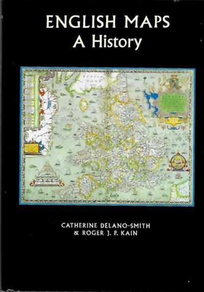
English Maps: A History
- Collection : Prof Jim Green
- Publisher : University of Toronto Press
- Illustrations : b/w illus, maps


Description:
A history of English maps and atlases from 700 AD to the twentieth century. The work explores the ways in which maps have interacted with society in England's past, and analyses the roles that maps have played and the uses to which they have been put.
Condition
Vg in d/w.
Other titles from the collection : Prof Jim Green
Click to view all titles in this collection...


Index of the Genera and Species of the Freshwater Triclads (Turbellaria) of the
Kenk, R.
Price £10.00



You may also like...



Fatal Shore: A History of the Transportation of Convicts to Australia, 1787-1868
Hughes, R.
Price £10.00

Imperial Life in the Qing Dynasty:Treasures from the Snenyang Palace Museum
Grace Wong; Goh Eck Kheng
Price £10.00