

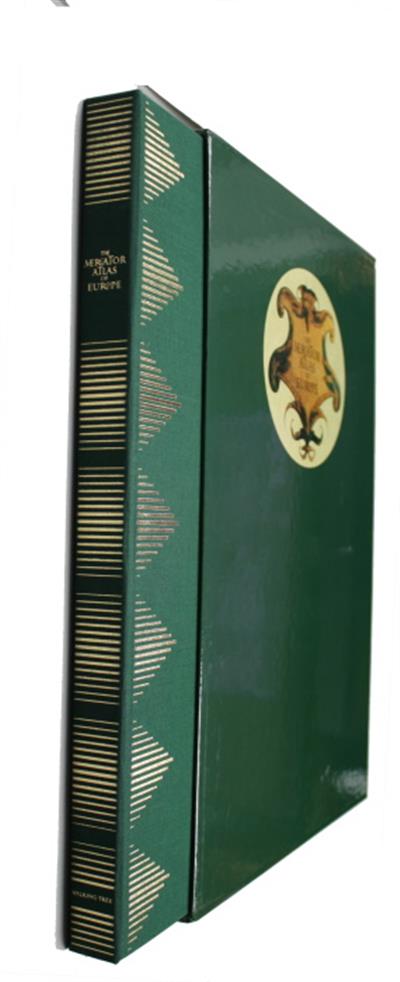
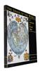
The Mercator Atlas of Europe. Facsimile of the maps by Gerardus Mercantor contained in the Atlas of Europe, circa 1570-1572
- Collection : Prof Jim Green
- Publisher : Walking Tree Press
- Illustrations : col illus, 17 col maps
Description:
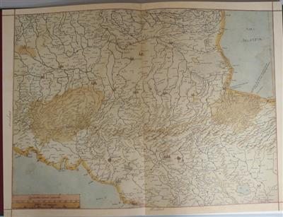
Contributions by James R Akerman, Peter M. Barber, Arthur Dürst, Mireille Pastoureau and Marcel Watelet. 17 double page folio maps. Anglia, Asia Minor, Britanni /Gronlan, Cornwallia & Wallia, Europae, Gallia, Germania, Graecia, Hebrides / Orcades,Hispania, Irlandia, Italia, Lombardia, Sarmatia, Scotia, Svetia, Tirolis.
Condition
Cloth folder, softcover book and 17 loose maps, in slipcase. Fine
Other titles from the collection : Prof Jim Green
Click to view all titles in this collection...


![Ethiopia [Under-Water Paradise]: A Bird's-eye-view for the Tourist - Un aperçu pour le touriste](/ProductImage.aspx?File=34231.jpg&Size=60)
Ethiopia [Under-Water Paradise]: A Bird's-eye-view for the Tourist - Un aperçu
Jaubert, J.; Petron, C. (Photos)
Price £35.00

A Birders guide to Costa Rica An Introduction to Bird Finding; A Self-Made Tour
Taylor, K.
Price £15.00


