

A Series of Accurate Maps of the Principal Lakes of Cumberland, Westmorland, & Lancashire
- Collection : Prof Jim Green
- Publisher : Frank Graham
- Published In : Newcastle on Tyne
- Illustrations : 7 maps (6 folding)
Description:
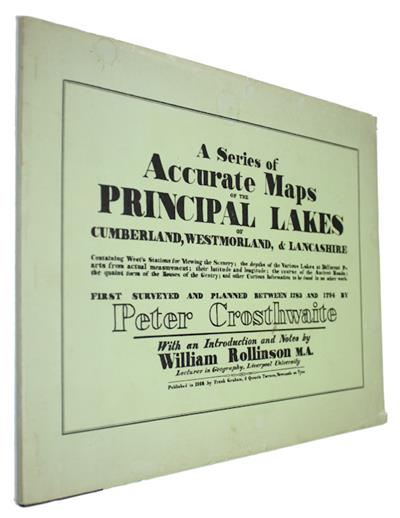
Containing West's Stations for Viewing the Scenery, the depths of Various Lakes at Different Parts from actual measurement; their latitude and longitude; the course of the Ancient Roads; the quaint form of the Houses of the Gentry; and other Curious Information to be found in no other work. First Surveyed and Planned between 1783 and 1794 by Peter Crosthwaite. With an Introduction and Notes by William Rollinson M.A. Crosthwaite's maps of Derwentwater, Windermere, Ullswater, and Pocklington’s Island were originally published in 1783, and reissued several times. The maps of Bassenthwaite, Coniston, and Buttermere, Crummock and Loweswater were published later between 1785 and 1794. The maps used in this edition are facsimiles of the maps revised and republished in 1809.
Condition
Oblong format (246x311mm), orig. two tone boards in d/w (minor edge wear). Minor bump to corner of front board. Previous owner's name to top of title page. Vg.
Other titles from the collection : Prof Jim Green
Click to view all titles in this collection...


Common and Scientific Names of Fishes from the United States and Canada
Robins, C.R.; Bailey, R.M.; Bond, C.E.; Brooker, J.R. et al
Price £25.00